Everything about Mysore!
mysore.ind.in/mysore-road-mapScan to see this page on your mobile phone
Scan to see this page on your mobile phoneThe first map shows major roads inside Mysore city and the outer Ring Road
The first map shows major roads inside Mysore city and the outer Ring Road.
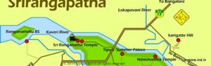
The second Mysore Road Map shows road routes to major places around Mysore city. Also the highways connecting Mysore with other cities.
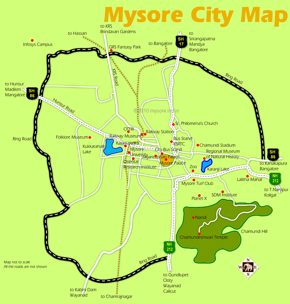
If you are heading towards KRS Dam (Brindavan Gardens) , Ranganthittu bird sanctuary, GRS Fantasy Park, Hunsur , Coorg etc take the right at the Outer Ring Road junction (this is a large junction at the Colombia Asia Hospital with traffic signals, giant sign boards with route directions etc).