 Scan to see this page on your mobile phone
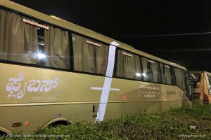
Mysore to Coimbatore is well connected by road. The state transport corporations of both Karnataka and Tamilnadu operate many daily services between Mysore and Coimbatore. Also you can find a few private buses on this route.
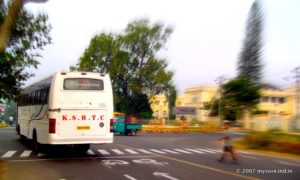
The distance between Mysore and Coimbatore is 205km. Bus takes about 5 hours to cover. There are about 7 Airavat (AC Volvo bus) and more than 20 express buses between KSRTC and the Tamilnadu RTC. You can reserve seats in the KSRTC buses online at www.ksrtc.in ( see KSRTC Booking ) or from any of the reservation centers.
If you are driving from Mysore to Coimbatore, here is the route.
Mysore city -- 24km --> Nanjangud -- 38km --> Chamarajanagar ( joins NH209) -- 43km --> Hasanur ( Karnataka: Tamilnadu border ) -- 6km --> Thimbam (ghat starts ) -- 14km --> Bannari (ghat ends) -- 14km --> Sathyamangalam -- 36km --> Annur -- 30km --> Coimbatore city.
Out of the 205km or so drive a good deal (about 40km ) is through the forest ( popularly called the Sathyamangalam forest), out of which some 14km is through steep ghat route riddled with hairpin bends. And the rest of the route is through the rural countryside, with a few small towns along the way.
From Mysore city take the Nanjangud road. This is the same road ( NH212 ) that take you from Mysore to Ooty ,Gundlupet, Calicut etc. The road starts from the Mysore Palace vicinity. Other major road like the JLB Road and the Outer Ring Road too joins the Nanjangud road as you drive out of the city.
Just before Nanjangud town square you'll see a left turn across the railway crossing gate. Take this deviation to bypass the town. This road finally hits the river Kapila bank and you'll pass the Nanjundeshwara Temple, the main landmark of the town with its lofty tower. A little ahead at the junction turn right for Chamarajanagara. You may nee to confirm the route locally, to avoid taking the wrong turn.
The road from now onwards is a bit narrow , just enough for two vehicles to pass. Also you'll find many speed breakers as you cross the village limits.
Chamarajanagar is a relatively large town, but much smaller than Mysore. Facilities for travelers are limited though you may find a few hotels. In any case you will not find any great facilities till after you reach Coimbatore city, though you may find some road side shops.
Also keep in mind there are only a few fuel stations, between Chamarajanagara and Satyamangalam. The available ones are far apart and there is no guarantee that they are open.
From Chamarajanagar, in about 30-45 minutes you'll hit the periphery of the forest range. In the middle of the forest somewhere before Hasanur you'll cross the border and enter Tamilnadu. Hsanur is a "major" break point for the buses and trucks, means there are a few makeshift teashops along the roadside. A little ahead is Dimbam. From here you'll get the first view of the Satyamangalam plateau. The road is narrow, but there is a view point at the beginning of the ghat road.
From now onwards, the road is a steep downhill with 27 hairpin bends. You need to be extra alert while driving, especially when negotiating the bends. Give priority to the vehicles in the uphill direction, in negotiating the hairpins.
In about 30-45 minutes you'll cross all the hairpin bends. You'll see a small shrine (Bannari) on your left, where every trucks stop for brief "pooja". This marks the end of the ghats, the road suddenly turns flat straight though you are still inside the forest. A few kilometers ahead arrives the police check post with that typical zigzag barricade. Around the corner is the RTO office that issues entry permit for commercial vehicles (like tourist cars, bus etc).
Immediately after this is the large Bannari Amman temple. This is also the deviation for the Bhavanisagar dam.
In about 12km drive from Bannari you'll reach the outskirts of Satyamangalam town. Pass right through the town. Just before the town square you'll see a bifurcation and a large bridge across the right fork. Take the road that goes over the bride. There are many deviations from Satyamangalam town. Ask for the Coimbatore road.
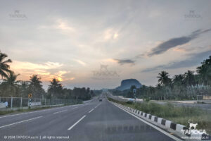
The road is now a lot less crowded and almost all through canopied by Tamarind and Banian trees. You'll also see that enigmatic looking palm tree clusters, a hall mark of Tamil countryside. In about 36km from Satyamangalam town you'll cross Annur town, a major intersection again. Keep going straight on the NH209. From Annur in about 25km you'll reach Ganapathy, in the outskirts of Coimbatore. The hitherto empty road steadily get crowded, traffic move slow. You'll see the first traffic signal of Coimbatore near Ganapathy.
Further you need to decide which deviation you've to take based on your destination in Coimbatore city. The NH209 otherwise pass right through the heart of Coimbatore city. It wriggle out of the city after passing through a few complicated junctions. It can take about 30-60 minutes to cross Coimbatore city, depending upon the city traffic. Evenings are pretty busy. Further, after the city limit, the NH209 crosses the NH47 and heads towards Pollachi and Dindigul.


