 Scan to see this page on your mobile phone
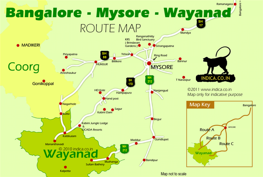
Mysore to Sulthan Bathery route (Route C) is by far the busiest (and popular) of the three options from Mysore to Wayanad. The other options being Mysore to Mananthavady either via HD Kote (Route B) or via Hunsur (Route A).
The Mysore to Sulthan Bathery route is like this:
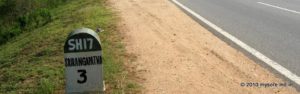
The Mysore to Sulthan Bathery route (113 km) is like this: Mysore City -- 22km --> Nanjangud -- 36km --> Gundlupet -- 16km --> Bandipur forest -- 19km --> Kerala:Karnataka border -- 7km --> Mutanga Wildlife Sanctuary --13km --> Sulthan Bathery town
Job No1. Get to the Nanjangud road. This is nothing but the NH212 ( also called the Nilgiri or Ooty road).
If you are starting from near Mysore Railway station area, get to the JLB Road , this will join the NH212 at the base of Chamundi hills. Turn right towards Calicut, Ooty, Nanjangud etc. The left turn will take you back to the city center.
On the other hand if you are starting from near Mysore Palace (or bus stand area) the Nilgiri road starts from the southeaset corner of the Mysore palace complex. Through there are huge signboards, it is easy to miss this junction.
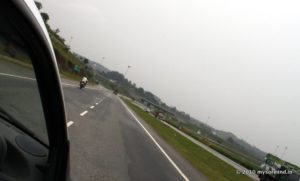
After about 12km on this road you will see Mysore Airport on your right. Before that you will pass the Chamundi Hills on your left , and the Outer Ring Road joins your road on the right.
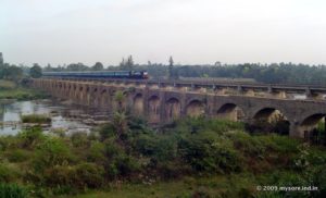
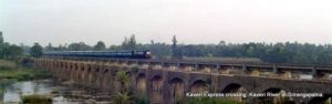
The road is relatively busy and the traffic fast moving. You'll cross Kapila river to enter Nanjangud town. As you cross the river , on your left is an abandoned railway bridge. This is one of the oldest railway bridges to be built and was an engineering marvel of the time. You'll also see old railway coaches on the bridge wanting to be converted into a heritage restaurant over this ancient bridge!
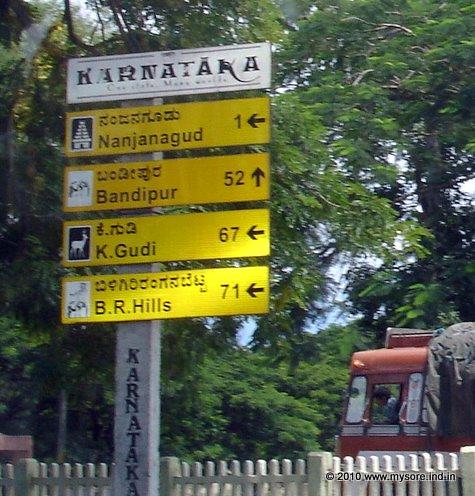
Cross Nanjangud town. Do not get into the town , keep going on the highway and head towards Gundlupet.
Gundlupet is small border town.
There are a few smaller restaurants ( the kind you find on highway sides) but there are no swanky ones around the town. The only exception is probably the Cafe Coffee Day (CCD) outlet adjacent to that HP Petrol Bunk.
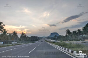
The road condition is pretty decent though not that of modern highway quality. Immediately after Gundlupet town the highway takes a right turn towards Calicut ( ie towards Wayanad direction).
The straight fork heads for Ooty. From this point you will see the approach of forest ranges.
Gundlupet about 58km from Mysore city , that you would take between 1½ to 2 hours to cover.
The road condition is pretty decent though not that of modern highway quality. Immediately after Gundlupet town the highway takes a right turn towards Calicut ( ie towards Wayanad direction). The straight fork heads for Ooty. From this point you will see the approach of forest ranges.
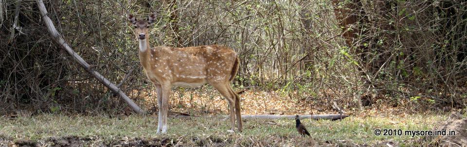
In about 15 to 20 minutes drive you will reach the entry to Bandipur forest. All the conditions for forest driving apply. That is drive slow, watchful of wild animals crossing (give way and do not provoke), No honking inside forest etc. The entry to the forest is restricted during the night as part of wildlife conservation efforts. Traffic is allowed through the Bandipur forest only from 6am to 9pm. So plan and schedule itinerary accordingly. Somewhere in the middle at a place called Moolehola you'll cross to Kerala. The border is in fact marked by a tiny riverlet, you'll notice a check post next to that bridge.
Immediately after that you are greeted with a series of check posts ( of RTO, Commercial Tax, Police etc ) on Kerala side. Except for the random inspection of the vehicle non commercial vehicles are allowed to pass freely. A few more kilometers, you will pass the Muthanga WLS, and another 4km more, you'll come out of the Wayanad forest.
Around this point you'll find a series of tea shops, all catering to the motorists on this route. From this point Sulthan Bathery town is about 10km. Just before the town you'll cross the Pulpally road junction. This road takes you to the northern areas of Wayanad.
The famous Edakkal caves are near Sulthan Bathery. For getting to places like Vythiri, Pookot Lake, Lakkidi etc head to Kalpetta town , which is about 24km further drive to west from Sulthan Bathery,
In short, Mysore to Sulthan Bathery by NH212 is a 3 to 4 hours drive. About 30km is through the Bandipur forest. No night driving allowed. Road condition is reasonably good, baring a few odd stretches. And of course, it is a busy and popular interstate route.